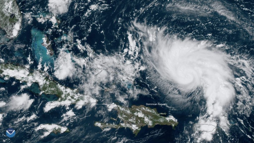
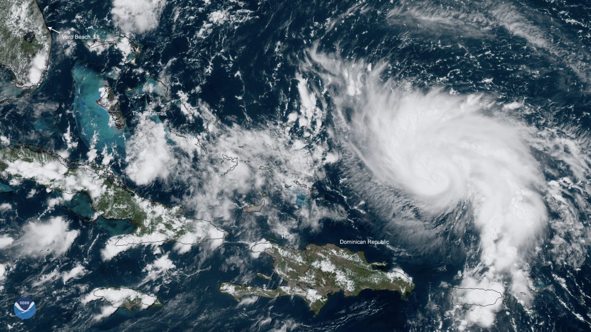
The proposed track of Hurricane Dorian, now a Category 2 storm with winds of up to 105 mph, moved south Thursday, Aug. 29, and according to the National Hurricane Center, the storm remains on course to be an “extremely dangerous” Category 4 in the event that it makes landfall on the eastern shore of Florida.

“Dorian is potentially as severe as the reports say, but there is always room for the weather reports to be wrong,” said Bryan Norcross, internationally renowned hurricane specialist and adjunct professor of environmental reporting and advanced weather casting at the University of Miami.
Norcross continued, “for instance Hurricane Michael was forecast to be weaker than it eventually ended up being. There are a lot of gray areas when it comes to tracking weather but the community should still take proactive measures with Dorian.”
The UM community and much of South Florida have been making preparations as Dorian projects to move closer. Many people have been, flooding local stores in search of bottled water, portable chargers and other supplies that are in high demand.
“The thing that’s unusual about Dorian is that, today we don’t know anymore than we did yesterday,” said Norcross. “We are still scratching our heads over where in Florida will have the biggest impact. Hurricane Dorian is a slow moving storm, and these types of hurricanes are always the most difficult to track due to its speed, because they are not caught in the flow of air that you can easily identify.”
Norcross also advised the UM community and the surrounding areas to stock up on essentials and have a hurricane readiness bag in case of immediate evacuations. He also stressed for people to stay updated on local weather channels and student media reports.


